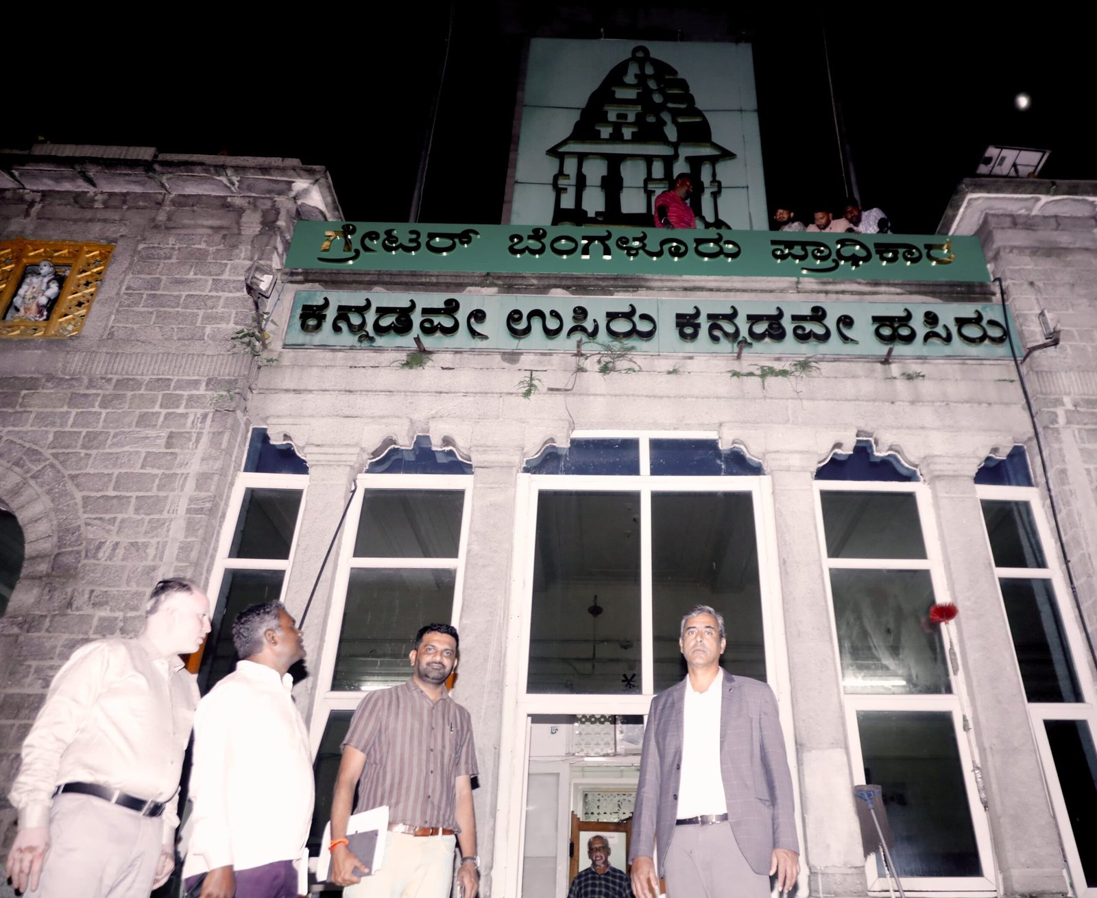
Bengaluru: The Karnataka Urban Development Department has issued two coordinated notifications redefining Bengaluru’s statutory planning footprint and preserving the existing planning regime until a new city Master Plan is approved.
What’s changed
- 303 villages + Bengaluru Central Pete excluded from the old Bengaluru Local Planning Area (LPA): Exercising powers under Section 4-B of the Karnataka Town and Country Planning Act, 1961, the Government has withdrawn these areas from the earlier LPA.
- Area of 303 villages: ~60,627.32 hectares
- Bengaluru Central Pete area: ~7,724.56 hectares
- Total: ~68,351.89 hectares
- Greater Bengaluru Local Planning Area (GBLPA) notified: Via Notification No. NA.E 515 MNJ 2025 (I & II), the Government has declared the Greater Bengaluru Local Planning Area and mapped its statutory boundary in detail (survey-number wise) across Yelahanka, KR Puram, Varthur–Sarjapur, Begur–Anekal, Kengeri–Ullal, Dasanapura–Hesaraghatta and other contiguous belts.

Legal continuity (no vacuum in rules)
Until the new Greater Bengaluru Master Plan is sanctioned:
- All rules, regulations, orders, directions, approvals and sanctions earlier issued by the Government and BDA for the old LPA will continue to remain valid within the GBLPA.
- The Revised Master Plan (RMP) 2015 and its zonal regulations are expressly saved and adopted as-is across the newly notified GBLPA, ensuring immediate regulatory continuity for building permissions, land-use, and development control.
Boundary, at a glance
The annexures specify the outer perimeter of the GBLPA with start and end control points and a continuous run of village boundaries and survey numbers—covering corridors such as Yelahanka–Bellahalli–Bairathi–Kalkere–Medahalli–Varthur–Gunjur–Carmelaram–Kasavanahalli–Parappana Agrahara–Hosur Road belt–Begur–Kudlu–Bannerghatta Road belt–Talahalli–Kanakapura Road belt–Kengeri–Magadi Road belt–Dasarahalli–Peenya–Bagalagunte–Jakkur–Bellahalli, and back to the origin.
Note: The Bengaluru–Mysuru Infrastructure Corridor (BMIC) planning area notified in 2001 remains outside this GBLPA boundary.
Why this matters
- Clarity for citizens & developers: There is no disruption to permissions or zonal norms; RMP-2015 continues to govern until the new plan is notified.
- Cleaner jurisdiction: The carve-out and fresh GBLPA boundary align planning control with current urban growth, reducing overlaps and disputes.
- Predictable approvals: Saved regulations mean BBMP/BDA/competent authorities can keep processing change-of-land-use and building plan files under the existing rulebook.
What to do if your land falls in the list
- Refer to the GBLPA maps/annexures for your village/survey numbers.
- Use RMP-2015 land-use and DC rules for applications until the new Master Plan is notified.
- For parcels now excluded from the old LPA, approach the competent planning authority indicated in the notification (or DTCP) for applicable procedures.


